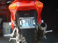
V-FORE
-
Posts
951 -
Joined
-
Last visited
-
Days Won
8
Content Type
Forums
Profiles
Gallery
Blogs
Downloads
Events
Everything posted by V-FORE
-
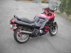
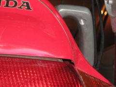
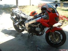
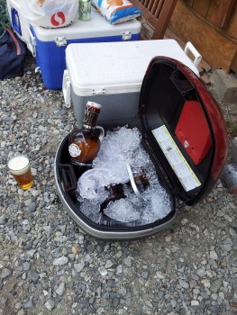
From the album: 5th Gen
-
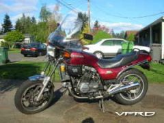
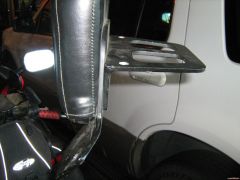
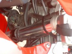
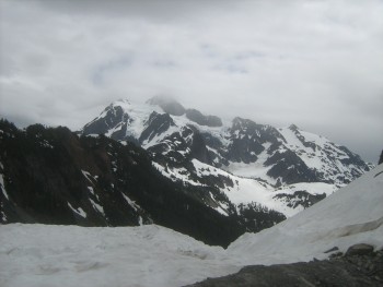
From the album: 5th Gen
-
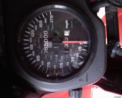
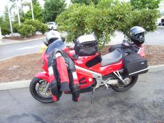
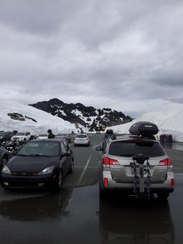
From the album: 5th Gen
-
Another thing to check is to sych the carbs that has helped me in the past...
-

Lane Splitting Petition In All 50 United States
V-FORE replied to whiteknuckles's topic in Seventh Generation VFR's
I love riding in CA! I do lane split as I can up here, they have been trying to pass it....But when those who do not understand and have not done it are in charge there is where the problem is. I agree it is much safer, when I talk to people I tell them to ignore the motorcyclist, just move over and drive, he is not going to hit you! Up here most people are ok with it, but like everywhere there are A-holes who think if they can't move faster you shouldn't be able to. I can only hope this moves forward! -
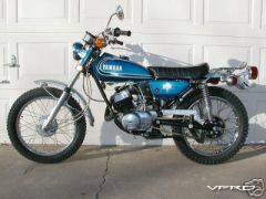
TheStig I don't have the oldest pics digitally saved, but my first bike was a DT175 when I was just a wee teenager in 1982. I saw this and since I just found this picture in storage, 1978 DT175, I think this is 1981...my 2nd bike 1st bike I bought was a 73 Yamaha CT1 like this Had 1 of these Then I fell for the V-Four The commuter & I had two others..... I still have my '94 & 99 VFR's & a 2012 NC 700 the current commuter
-
I will put in a vote, If I my memory serves me, the road from Kaslo to New Denver is a lot of fun! Looking forward to visiting it again this year
-
Looks Nice! I like the high mount can! I can't wait to get my new white fairings on my 5th, I will keep the wheels black Gary
-
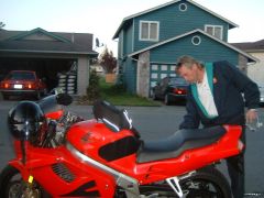
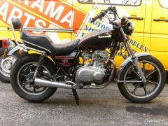
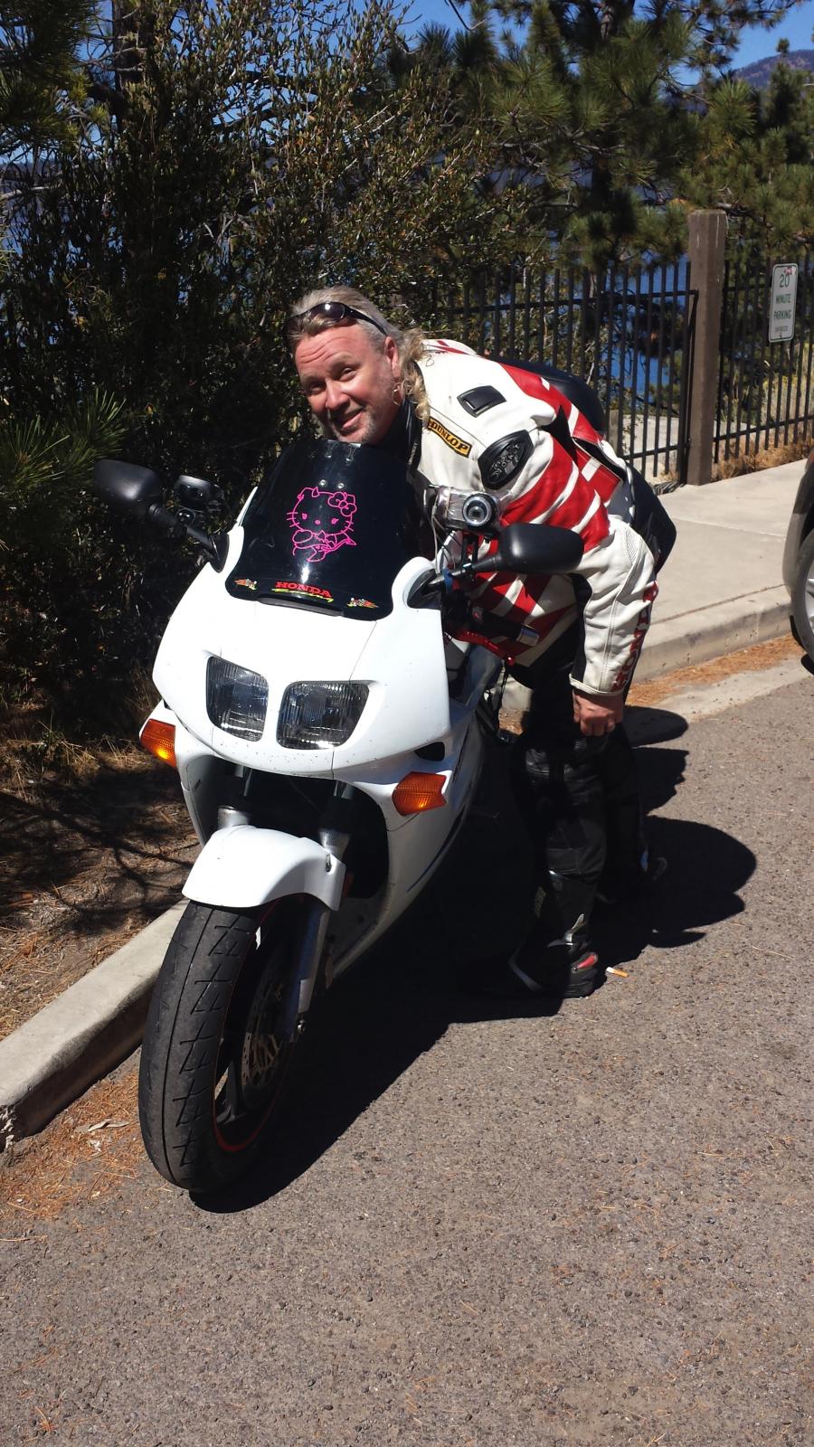
The old V45 Sabre I had
-
-
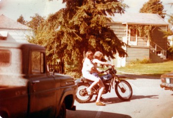
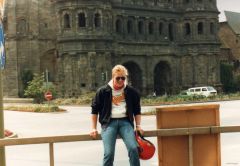
From the album: Pict's of 82 vf750S
1981? At least I was wearing Tennis Shoes! -
Welcome I would love to come back & enjoy your country! I was there in 83-84 Loved it! Enjoy your new bike!!
-
2016 Kootenay Hootenanny - July 22-24, 2016 - Official Thread
V-FORE replied to superfunkomatic's topic in Canada - all of it
I think we should ban the consumption of spirited beverages. I agree: red wine only. Am I right, Polarbear? This is coming from Canadians ..... -
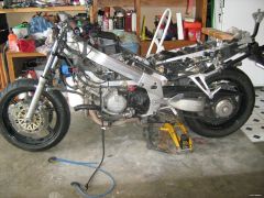
Working On Becoming A Traitor To The 4Th Gen
V-FORE replied to V-FORE's topic in Fifth Generation VFR's
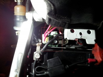
I received my replacement rear fender ( rear stanchions on the the original were broken off ) So I set out to replace the rear fender, change plugs, oil/filter, air filter and get ready to put the cheap Chinese Fairings on. last weekend I changed out the Helibars for regular ones. I also received a 10x10 canopy so working in my storage unit has more room k I do not know if its just my familiarity with the 4th that makes work on the 5th slower or am I just having fun drinking beer and playing with the new Mistress , but I at least changed out the rear fender and the rear plugs.... I am looking forward to getting her on the road -
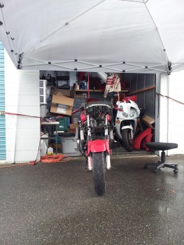
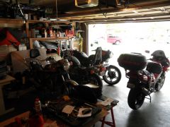
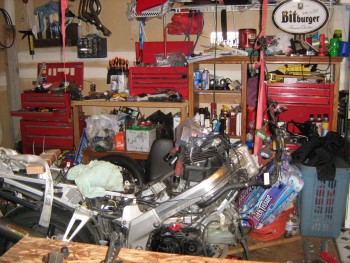
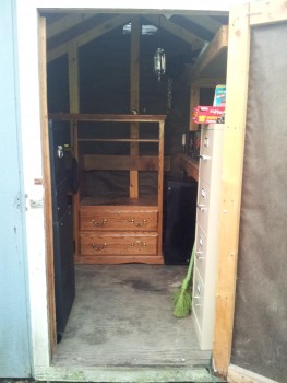
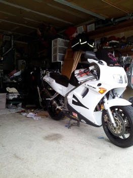
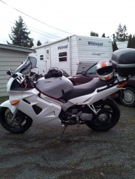
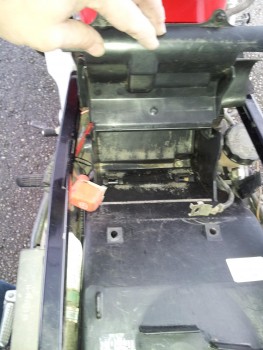
From the album: 5th Gen
My workshop straight view -
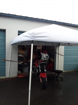
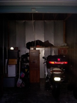
From the album: 5th Gen
My workshop side view -
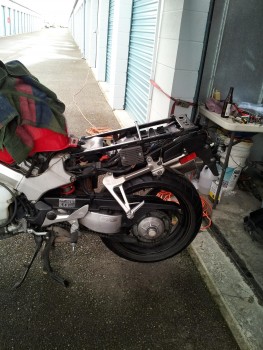
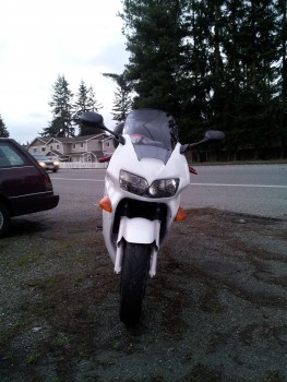
From the album: 5th Gen
New Fender installed -
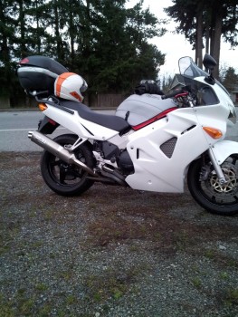
From the album: 5th Gen
New Fender installed -
I am finding out the same thing with the 99 I am putting together, 5th and the 4th are completely different bikes....so much for all the fourth gen parts, now its time to start collecting fifth gen parts
-
Welcome from a little down south from you!
-
Prb's 5Th Gen Restore And Rebuild Project!
V-FORE replied to PirateRiderBen's topic in Fifth Generation VFR's
I just took one off, I will take a close look at it this week & if she's good I have one.... -
Plenty of 4th Gen Plastic's available just keep your eye out, when you see them pick them up.... I did have a problem.... When I painted mine white, I wanted to be able to change back to red, if I wanted to Love the White! Now I am focusing my attention on my 5th Gen.
-
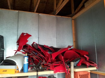
VARIOUS PIC'S OF MY BABY
-
-
From the album: MISC
some 4th Gen Bodywork -
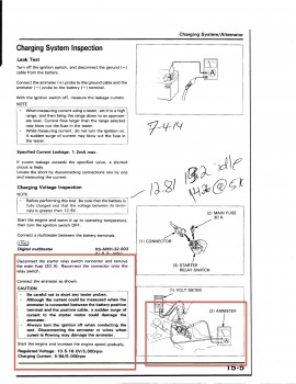
Honda's V-Force, Honda VF and VFR Interceptor (Whitehorse Press Collector Series) Paperback – March 8, 2002There are probably more, but I have both of these and they are full of information on VFR's. The manuals are full of info to. You can still find bodywork if you chose not to go streetfighter, I have quite a few and if you need any help feel free to pm me, I have rebuilt my '94 after I totaled her, and have alot of 4th Gen experience! Gary
-
Just signed up....a bargain at about $5.00 a race I enjoy the Motogp online, much better then the coverage we get here, when its on tv......