
The Road To Westcliff
Entry posted by HispanicSlammer
1,669 views
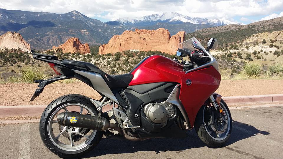
The Crags on Pikes Peak
Whenever I need a ride and just dont want to be out all day I usually take a ride down to Lake Isabel on the Green Horn Highway. I make a big loop out of if. Head south on hwy 115 over to Florence - past the supermax prison up to McKenzi Junction and down the Greenhorn Highway to Lake Isabel. I usually dont stop at Bishops Castle anymore seen that enough times, but its a great stop if you have never been, you can get your fear of hieghts all boiled up if you dont mind climbing on rickety rocky wrought iron structures.
I know the road well enough to ride it at a brisk pace 80-to ungodly stupid fast, at least when I am the only one on the road. Its usually has its share of tourist so you have to slow down. I stopped and got some drink and food in Florence and was enjoying a nice stop at Lake Isabel when a group of Pueblo tourist where out and about in an SUV, they stopped and one of the old folks got out and greeted me with a folksy hello. He told me he was with his wife and his cousin and her Husband - He is a Honda owner too of the Goldwing sort - motorcylists are motorcyclist and usually we all have somthing in common to talk about - even if hes 40 years my Senior and a good deal slower. I told him to take the dirt road to Beula and enjoy the Wet Mountains from there, somewhere he had never been. Visiting cousins in Pueblo they come from Grand Junction. He then used the public mens room and took off in thier SUV waving goodby as they went. I took off about 5 minutes later and passed them going my normal pace before they made the turn, pointing to the road they should take.
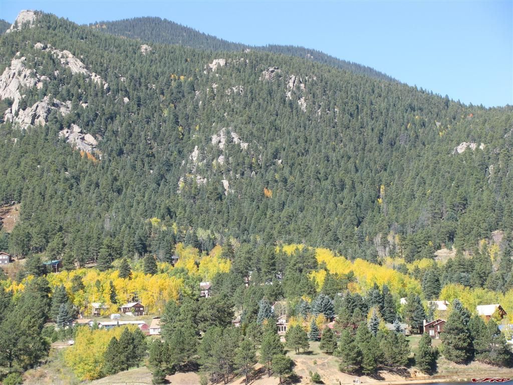
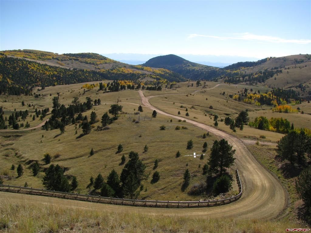
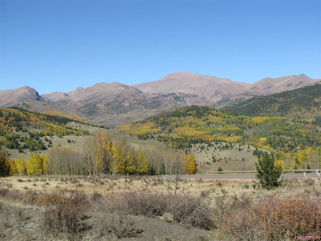
Then at McKenzi Junction I decided to make a loop out of the ride and head over to Westcliff and down into Texas Creek, I stopped for a picture of the Sangre De Christos, there is a meadow at the top of the wet mountains that exposes the Sandgres from across the wet valley, its an amazing view that always takes my breath away.
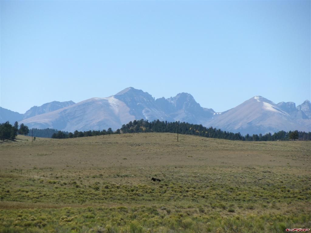
Sangre De Christo Mountains Co Hwy 96
at the top the road gets slightly twisty before you get into the wet valley and I was railing it of course, passed a few cars on the way down then turned the corner into the vally I was trying to remember which mountains where which slowing down to take a good look - and I saw in my mirrors a sherrif deputy following me, where he came from I have no Idea but I stayed at my current pace (speed limit) until I stopped at the gas station in Westcliff. I know the cops patrol hwy 96 cause I have been stopped there before, I still dont know where he was when I passed him? He did not light me up with his radar either cause I got no signal, paceing me no doubt by his speedo! I get sick of traffic cops always on my case! You know what I was going slow cause I was approching the town some 5 miles away going the speed limit, leave me alone!
I did not stay in Westcliff since I dont like being hassled by local cops, hassle me and I wont stop and spend money in your town for lunch! boycott HS style Forget that my lunch money is going to Texas Creek instead.
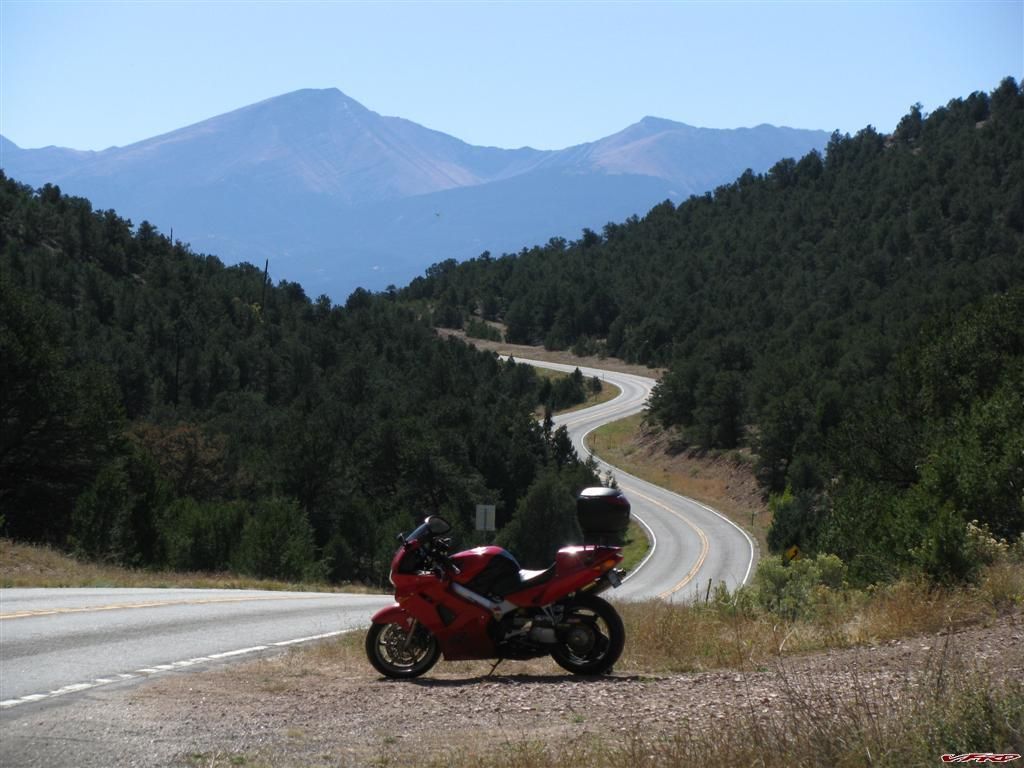
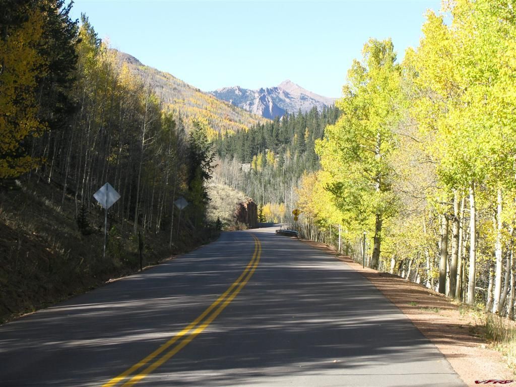
Twisty Road Near Texas Creek
There was a big group of riders - some wearing Apex Sports shirts, so I know they came from Colorado Springs, they where on the other end of the resturant and did not acknowledge me, cruisers on metrics and one beemer. Oh well, one of them finally said hello when I was already to go on my bike after eating my lunch. Well Hello dingleberry! I tried to introduce myself earlier! Oh well no point in being rude so I said hello. Then I dissapered around the first turn and was gone.
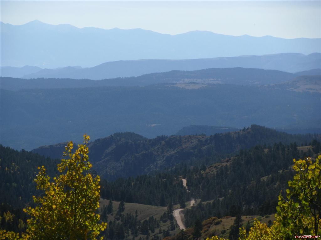
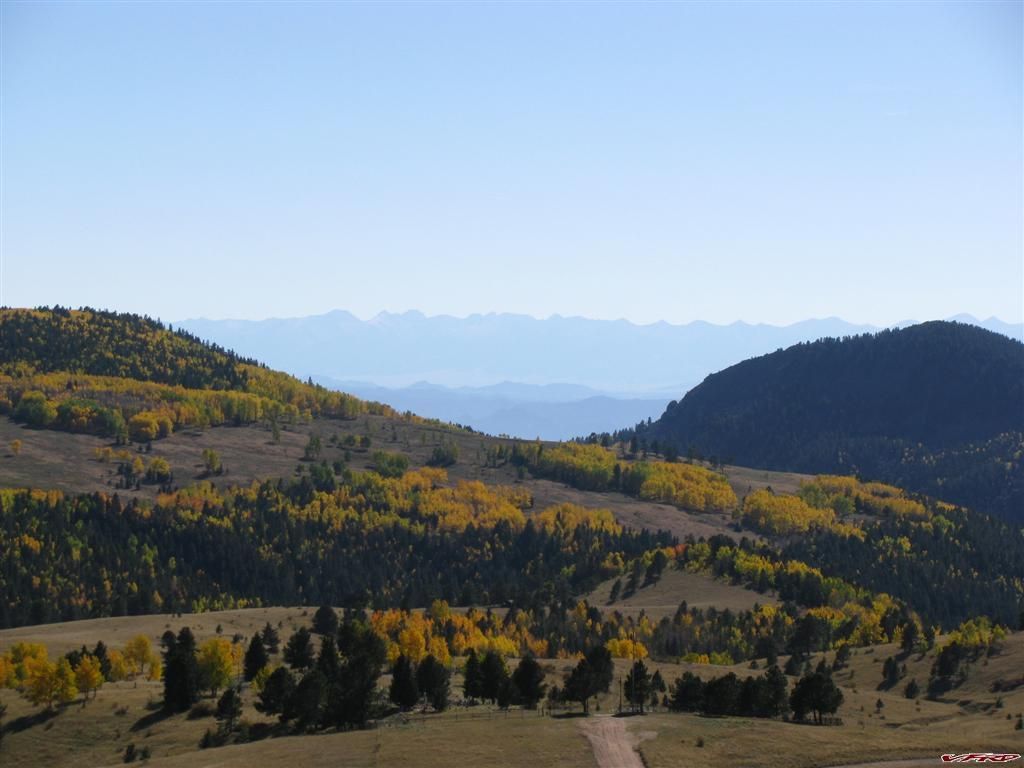
I headed over to hwy 9 and started toward high park road to Cripple Creek. I passed a few cars going up High Park Road, then turned off to get up the mountain to Cripple Creek, saw a sign that said "Loose Gravel" turned the corner and my radar detector started blaring in my ear, another sherrif following a car closely down hill with his radar on. The cop was less than 2 car lengths behind the car? Harrasing cops all day long! I was glad I slowed down for that sign! Never did see any loose gravel? I waited to speed up again thinking the sherrif might turn around and come after me? - you never know about these small town cops! They enjoy it a bit too much. I just decided to look at the pretty aspens in thier fall colors and not rail the turns - the road from Cripple Creek to High Park road is a bit too well traveled these days, very busy with all that gambling traffic from Cripple Creek, people working the casinos, people from Pueblo going to the Casinos its a mess now.
I dont much care to stop in Cripple Creek so I always turn south there and to rail the 5 miles of turns to Victor. That short road is a hoot! and its a bit scary since you can fall a good 1000 feet down if you miss a turn. past a huge gold mine to Victor you can view some very nice vistas and the fall colors where spectacular.I can usually speed up after I get out of Cripple Creek to Victor, there is a great 5 mile road on the way that is one turn after another. I stopped to take some pictures
Cematary Road Sangre De Christo mountains in the background
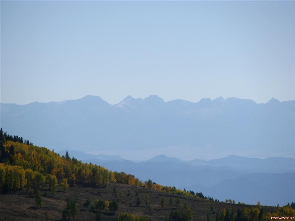
Crestone Peak, Crestone Needle zoom on my camera is good
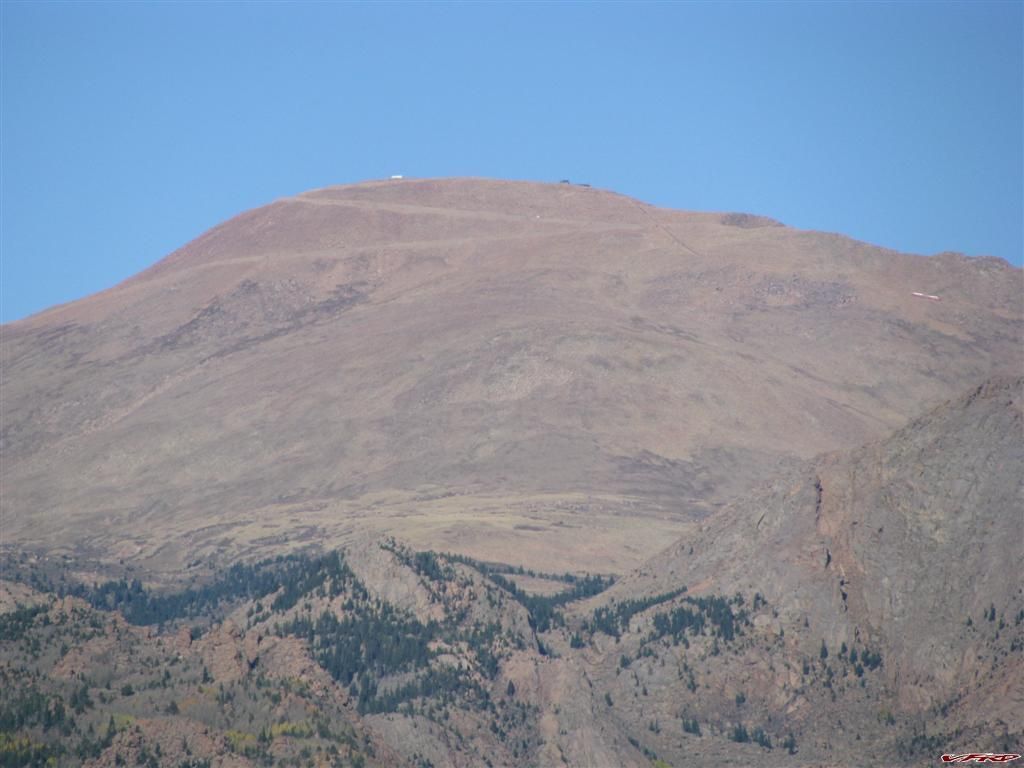
Victor is not so lucky as Cripple Creek - no gambling and its more run down, the historic town is much quieter. I usually loop around the backside to go see Pikes Peaks southern face

The Crags on Pikes Peak
CR 81 in Fall The Crags
The Map
Attached is the gpx tracks and a google earth path
5 Comments
Recommended Comments